 vesseltracker.com
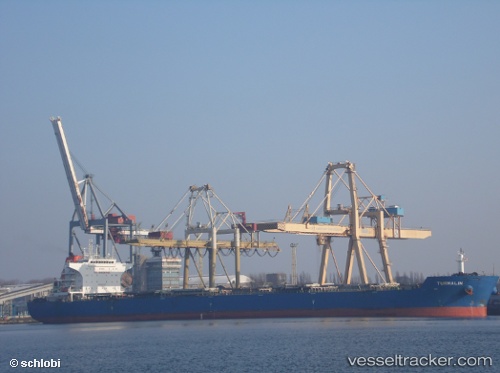
Vessel BLUE OPAL IMO: 9474644, MMSI: 636022122 Bulk Carrier
UTC, -23.94712, -46.31189, course: 351, speed: 0
UTC, -23.94704, -46.31192, course: 351, speed: 0
2026-02-07 01:22:38 UTC, -23.94707, -46.31194, course: 351, speed: 0
Live AIS position:
UTC. Near Santos),
updated 2026-02-07 01:22:38 UTC.
Find the position of the vessel BLUE OPAL on the map. The latter are known coordinates and path.
marine traffic ship tracker show on live map
The current position of vessel BLUE OPAL is -23.94707 lat / -46.31194 lng. Updated: 2026-02-07 01:22:38 UTCCurrently sailing under the flag of Liberia
BLUE OPAL built in 2012 year
Deadweight:
92762 tDetails:
Last coordinates of the vessel:
UTC, -23.94705, -46.31201, course: 351, speed: 0UTC, -23.94712, -46.31189, course: 351, speed: 0
UTC, -23.94704, -46.31192, course: 351, speed: 0
2026-02-07 01:22:38 UTC, -23.94707, -46.31194, course: 351, speed: 0